
A Disneyland Paris map in PDF format is a downloadable map document that locates every attraction, restaurant, shop, and service point in both parks. Having this file before departure allows for the construction of a precise itinerary, tailored to the duration of the stay and the composition of the group.
Reading a Disneyland Paris PDF map: markers and legends
The maps distributed at the park entrance and their digital versions use a color code by land. Each themed area (Adventureland, Fantasyland, Discoveryland, Frontierland, Main Street U.S.A.) has a distinct hue that helps locate attractions without reading each name.
The legend groups several categories of pictograms: thrill rides, shows, dining points, restrooms, lockers, stroller charging stations, and first aid posts. Identifying these pictograms before the visit avoids unnecessary back-and-forth between two distant areas of the park.
Since the transformation of Walt Disney Studios into Disney Adventure World, the updated maps for 2026 display a new organization of spaces, with dedicated zones and entrances that are not featured on older PDF versions still shared on Pinterest or some forums. Downloading the most recent version is therefore a reflex to adopt to have a Disney park map in PDF that reflects the actual layout of the resort.
PDF map and pricing calendar: combining two tools to reduce wait times
The map alone does not indicate attendance levels. To optimize a route, it is best combined with the pricing period calendar published by Disneyland Paris.

This calendar distinguishes several levels of days, color-coded (green, turquoise, blue, yellow, orange, red). Green and turquoise days correspond to the lowest attendance, while red days indicate peak attendance.
Specifically, the method consists of:
- Identifying on the map the priority attractions and noting their location by land.
- Choosing a date during green or turquoise periods to reduce wait times for these attractions.
- Drawing a route on the PDF that connects the targeted attractions in a logically geographic order, avoiding complete crossings of the park between two rides.
This approach is rarely mentioned in content that limits itself to offering the map for download. The map provides the geography, the calendar provides the timing: together they form a true planning tool.
Building an itinerary on the map: method by zones
The classic temptation is to check off the “must-see” attractions and then run from one end of the park to the other. The result: a lot of walking, few rides, and premature fatigue, especially with children.
An effective itinerary is built by geographic zone, not by popularity order. On the PDF map, draw (with a pen or via annotation software) a loop route that covers an entire land before moving on to the next.
Example of a morning loop at Disneyland Park
Upon arriving early, most visitors head towards Fantasyland. The map shows that Discoveryland is just to the right of the entrance. Starting in this area allows for short lines on high-demand attractions while the majority of the public moves towards the back of the park.
After Discoveryland, the map indicates a direct passage to Fantasyland without going back through Main Street. This quick transition saves walking time and positions the group in the next land before the mid-morning peak.
Adapting the circuit for children
Recent maps of Disneyland Paris include a version dedicated to children, with simplified pictograms and visual identification of attractions accessible without a minimum height requirement. This children’s map is available at information points at the entrance and serves as a good complement to the adult PDF.
On the standard map, attractions without height restrictions are identifiable by the absence of a minimum height mention in the legend. Grouping them by geographic proximity allows for the creation of a mini-circuit suitable for the youngest, interspersed between two thrill attractions for the adults in the group.
Disney Premier Access and PDF map: locating dedicated lines
The Disney Premier Access system allows you to reserve a paid time slot for certain attractions to access a priority line. The PDF map does not always mention these dedicated lines, but it remains useful for identifying eligible attractions and planning the slots.
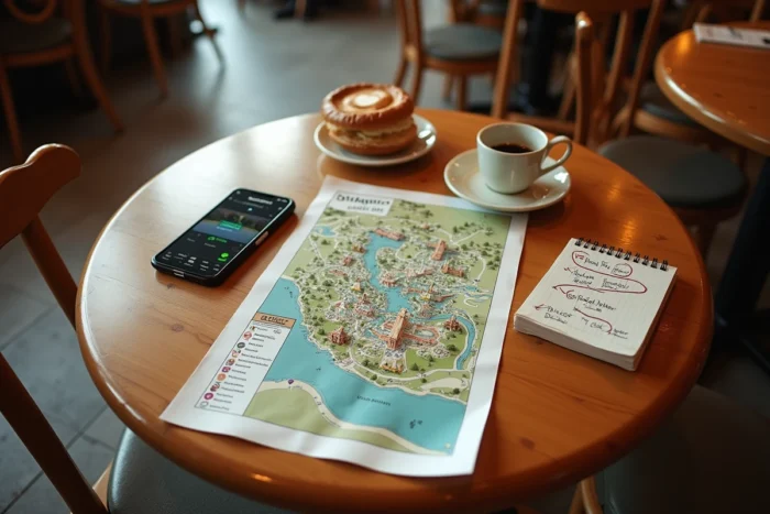
Attractions compatible with Disney Premier Access are generally the most popular in each land. On the map, they correspond to the points of interest that are farthest from each other. Reserving a Premier Access slot for an attraction located opposite your current position allows you to make the most of travel time: you walk while your slot approaches, instead of waiting in a regular line.
- Annotate on the map the attractions eligible for Premier Access with the reserved time slot.
- Plan the attractions without Premier Access in the intervals between two slots.
- Keep the annotated map accessible on your phone to adjust the route throughout the day.
PDF format or mobile app: which support to prioritize
The official Disneyland Paris app displays the map in real-time with updated wait times. The PDF, on the other hand, remains viewable offline and does not consume battery in the background.
The printed PDF remains the most reliable support in case of low battery or saturated network in the park. Slipping a paper version into a backpack takes up little space and guarantees permanent access to the complete mapping.
The ideal is to use both: the annotated PDF for the overall strategy of the day, the app for real-time adjustments according to the evolution of wait times. These two supports complement each other without replacing one another.
Downloading the PDF map before the visit takes less than a minute. Annotating it in advance, cross-referencing the map with the attendance calendar and Premier Access slots, transforms a simple tourist document into an operational roadmap. The time saved on-site is measured in additional attractions completed during the day, not in avoided kilometers.